|
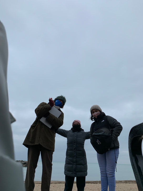
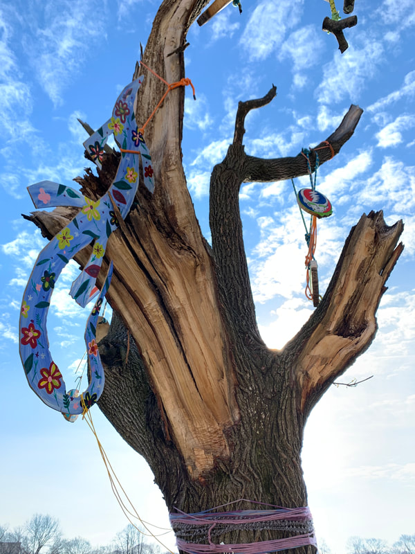
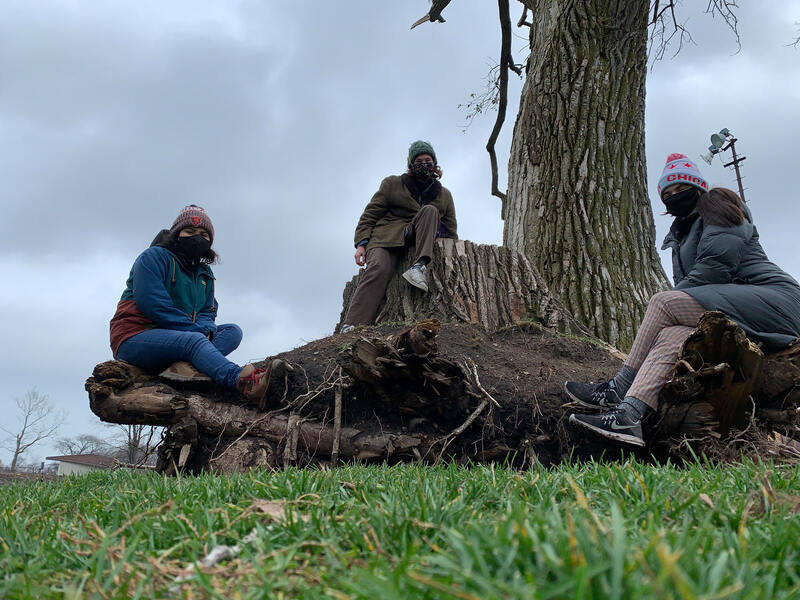
New LUFA member Elene Drosos provides an update on the newest LUFA project, evaluating whether virtual street imagery can be use to assess storm damage from the August 2020 derecho storm. Elene writes: This winter intersession, I was recruited by Annalise, Camila, and Dr. Vogt to become a research assistant in the Virtual Tree Inventory Project. For this part of the "virtual" project, however, we were actually outside in the middle of winter! My duties were to mainly take the pictures of storm damage and of species characteristics on each of the trees we surveyed. I also measured the DBH, plot area, and height of the trees, working alongside Annalise and Camila. Most of the time though, Annalise would be in charge of the clipboard for our written data, Camila would measure plot area and height, and I would be responsible for the photos that we are currently using for analyzing storm damage and identifying uncertain tree species from each surveyed transect. I used my cell phone to take pictures and was always armed with a battery pack so that we could soak up all of the little daylight in December and collect as much tree data as possible. Now that we have all of this data, we hope to analyze it virtually with the help of street view imagery. Stay tuned for future updates as we enter the next phase of this project where we'll be using virtual imagery to verify the location and species of trees before the storm, so that we can compare to field data and determine what tree characteristics were likely to lead to tree failure.
0 Comments
Your comment will be posted after it is approved.
Leave a Reply. |
AuthorJess Vogt, Associate Professor, Env. Science & Studies, DePaul University Archives
July 2022
Categories
All
|
1110 West Belden Avenue Chicago Illinois 60614
|
Site last updated: August 9, 2018.


 RSS Feed
